Warrandyte State Park
The
initial proposal for a Park was in 1969, as the result of community
agitation, for reservation of 300 hectares of bushland in the Ppouind
Bend area.
1973 Park formally announced - 115 hectares
1975 Additions of Pound Bend West, Jumping Creek, Black Flat
1978 Smaller extensions reserved
1981 Additions of Timber Reserve, Fourth Hill, the Common
1984 Koornong and Pound Bend East added
1987 Stane Brae and Yarra Brae added
1997 Mt Lofty block added
As at 2010, the Park extended to 656 hectares.
Bushwalking
The Park is a hiker's paradise!
In my opinion, the best walks include:- Mt Lofty summit (from Lower Homestead Rd or Reserve Rd)
- Stane Brae Farm (from Jumping Creek picnic reserve)
- Yarra Brae Farm (from Clifford Park)
- Blue Tongue Bend (from Jumping Creek picnic reserve)
- Black Flat Gold Heritage Trail (from Till's Rd)
- Fourth Hill (Bruce Bence Trail from Whipstick Gully car park)
- Fourth Hill Gold Heritage Trail (from Tunnel St)
- The Common (from Johanson's Rd)
- Pound Bend Circuit (from Pound Bend picnic reserve)
- River Walk (adjacent to Yarra St)
- Koornong (from Osborne Rd)
- Norman's Reserve (north and south tracks next to Yarra, from Bradley's Lane)
- Clifford Park Scout Activity Centre (from Clifford Rd)
- Bob's Wetlands (from Glynn's Rd)
- Canoeing - launching ramps are at Lower Homestead Rd, Reserve Rd, Jumping Creek Reserve, Pound Bend Reserve
- Horseriding, swimming, and cycling may be enjoyed, in permitted areas
Photos taken by the author in 2010 in the State Park
Mt Lofty
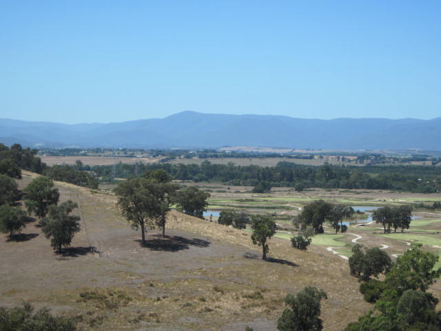
Yarra Ranges from Mt Lofty
Yarra from Mt Lofty

Mt Lofty - survey marker at summit

Mt Lofty - information board/shelter near summit
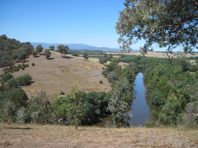
Lookout on Yarra, foot of Mt Lofty
Yarra, from Lookout at foot of Mt Lofty
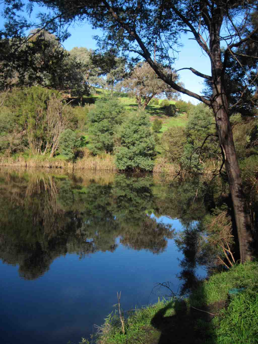
Yarra Brae, Stane Brae, Jumping Creek and Blue Tongue Bend

Stane Brae - former dairy - now a picnic area and overnight site

Jumping Creek Reserve - information kiosk

Jumping Creek Reserve

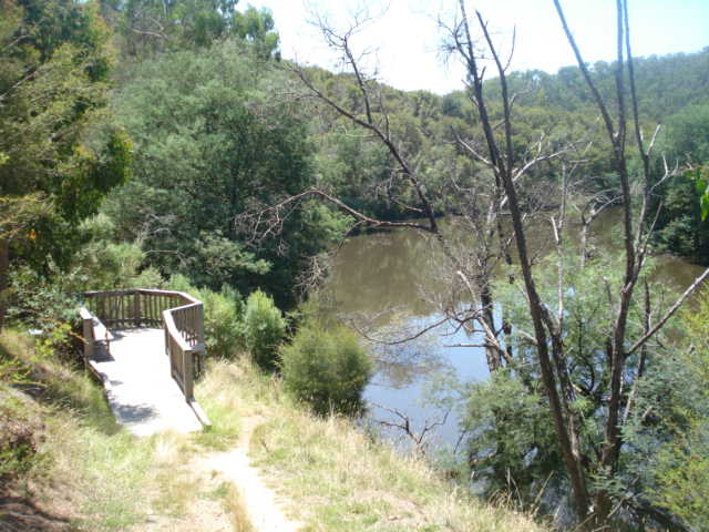
Blue Tongue Bend - the end of the walking track
Pound Bend

Pound Bend Tunnel

Pound Bend Reserve - information kiosk

Pound Bend Reserve

Entrance to Pound Bend Reserve
Fourth Hill, Whipstick Gully, Black Flat

Black Flat - site of 1880s diggings

Fourth Hill - entrance to Geraghty's Mine

Whipstick Gully - rebuilt Victory Mine poppet head

Fourth Hill - Johnstone's Mine